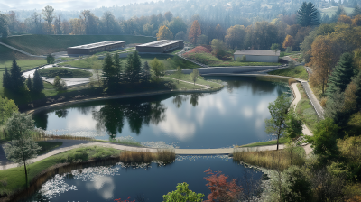
Erosion and Sediment Control in Agriculture
-
Register
- Non member - $40
- Professional member - $15
- Professional Plus member - Free!
- Professional Plus Org member - Free!
- Student member - $15
- Young Professional member - $15
- Emeritus member - $15
- Discounted Professional member - $15
- Australia Member - $15
- Australia Non-Member - $40
- Australasia Professional Plus - Free!
- Australasia Professional Plus Org - Free!
- Australian Student - $15
- New Zealand Member - $15
- New Zealand Professional Plus Org - Free!
- New Zealand Professional Plus - Free!
- New Zealand Student - $15
Erosion and Sediment Control in Agriculture
Agricultural practices to reduce erosion and sedimentation
Presented by: Dr Gary Hawkins
Level: Beginner | Intermediate | Advanced
Duration: 1 hour
Type of Course: On-Demand
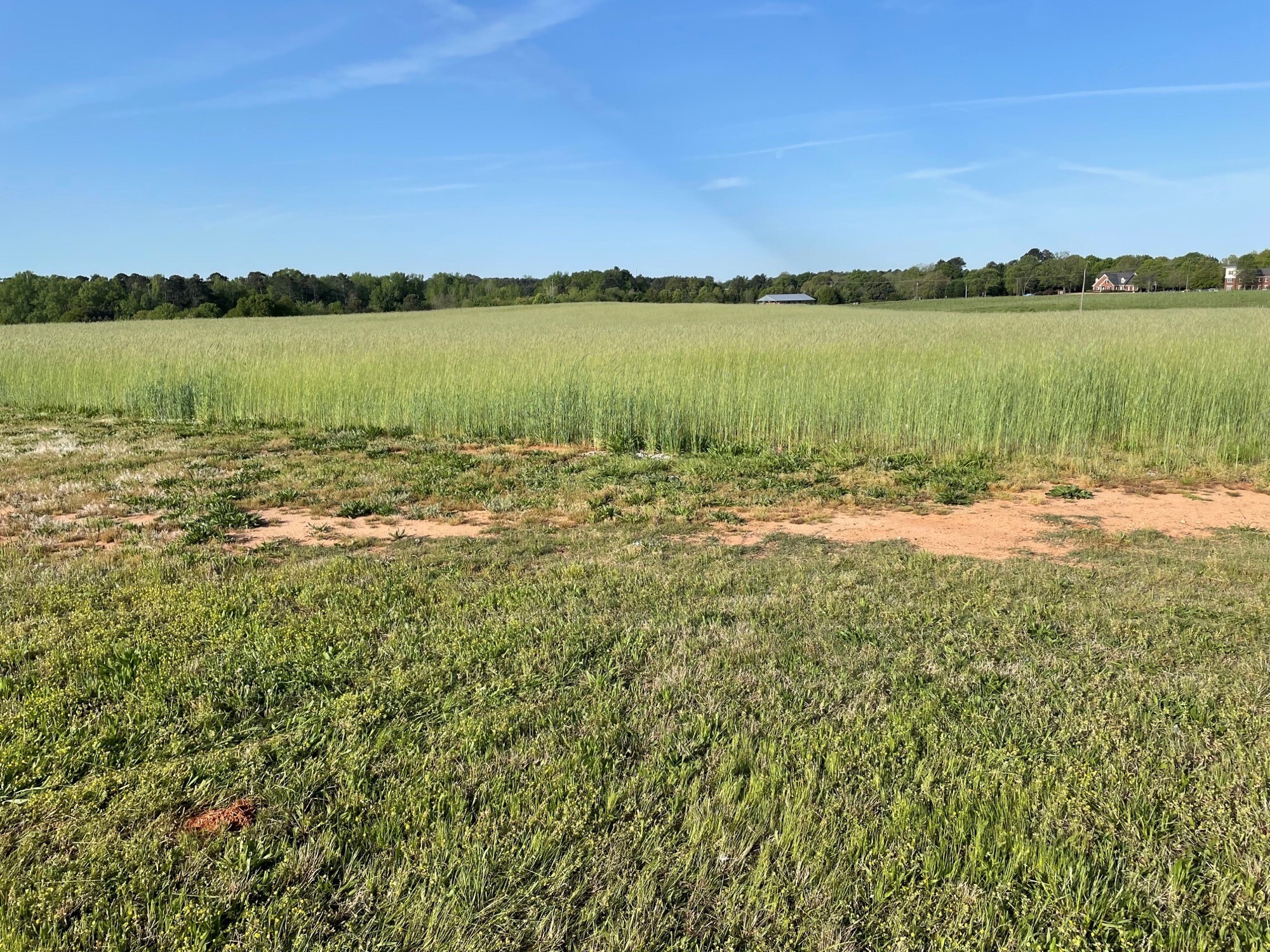
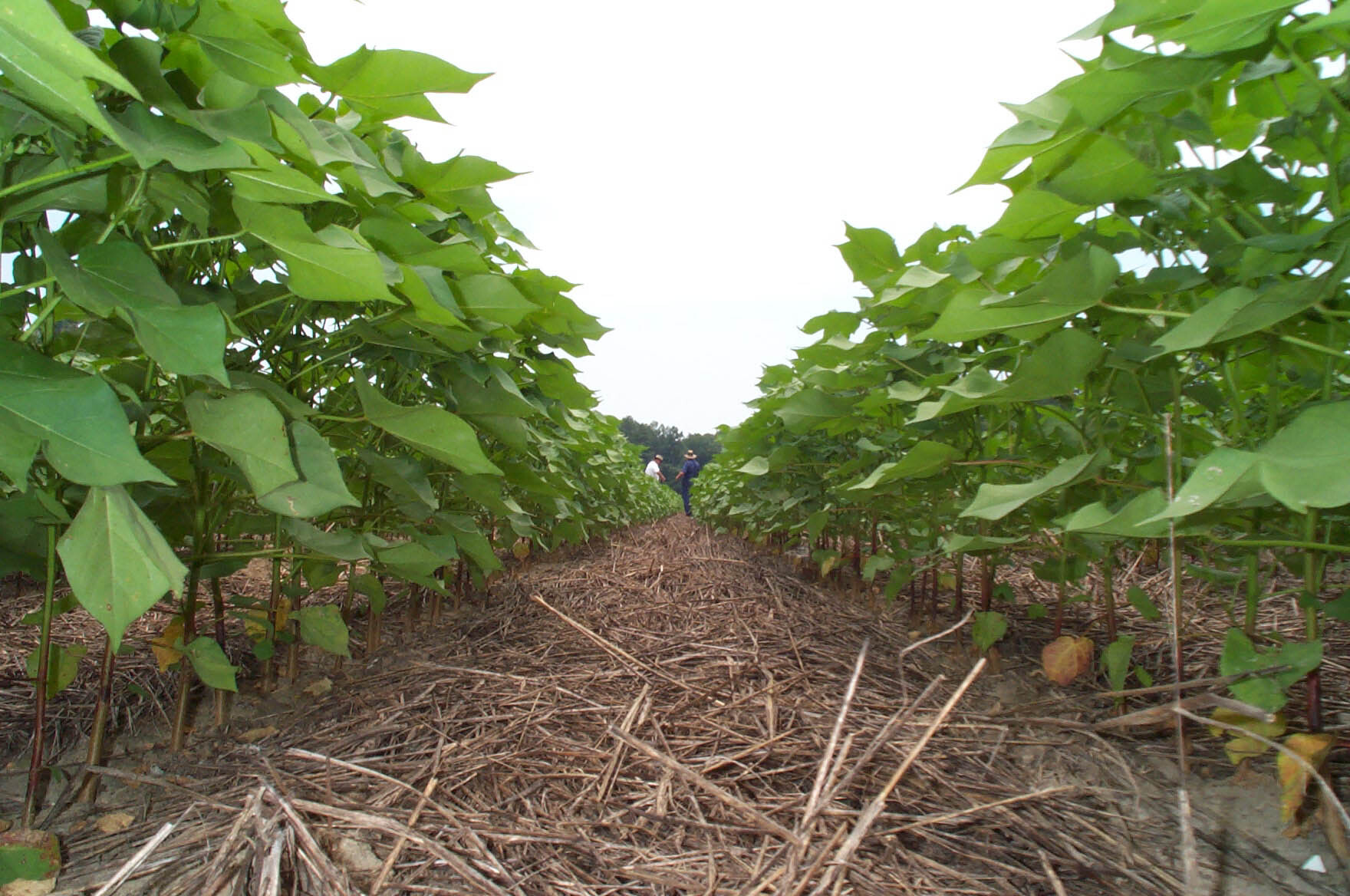
Agriculture is said to be one of the larger sources of non-point source pollution with sediment being the main issue. However, there are practices used by farmers and producers that not only helps reduce erosion and sediment movement but also builds soil health to increase infiltration. This presentation will describe some of the practices used by farmers to reduce erosion and sediment movement and see how these practices are being used in the field. Besides reduced erosion and sediment movement, conservation practices increases infiltration and improves soil heath. Both of the later contribute to reduced need for supplemental water additions and increase productivity of the soil.
Challenges and Lessons Learned in Quantifying Soil Erosion in Cropland: Human and Natural Drivers, Disciplinary Fragmentation, and Technological Innovation
Presenter: Dr Robert Wells
Presented by: Dr Robert Wells
Level: Beginner | Intermediate | Advanced
Duration: 1 hour
Type of Course: On-Demand
Since 1933, the United States government has been in the business of addressing soil erosion through assessment and conservation programs. Assessment of soil erosion has seen broad technological advancements in theory and tools, while conservation programs have evolved to include soil health. Numerous predictive models have been devised to express soil loss and the impact of conservation practices on soil loss. These numerical representations have been empirical and physically-based with both lumped and individual erosion process tools. Data used to calibrate and/or validate the models have come from long-term field observations, mostly at the plot scale, and laboratory investigations of the governing processes: rain drop impact dislocation, sheet erosion, rill erosion and gully erosion. While the last two processes may be viewed as a continuum, rill and gully erosion have received continued attention around the world. Efforts to understand these erosion sources have been expanding to include remote sensing technology, both in the laboratory and the field. At the center of these investigations lie our basic understanding of the general problem and an inability to define the processes we are attempting to define. Most are very comfortable with incision and widening processes but no one definition of rill or gully exists between the disciplines. This fragmentation has created issues within the communities that investigate these processes. We need one idea that encompasses the physical processes to be described and one consistent nomenclature. As technology improves and our focus becomes clearer, the foci will turn to the human and natural drivers within the landscape. Innovation in image processing and landscape stitching are coming; however, these tools will need to “see” the difference between a farmer’s tractor tire impression and an evolving channel within the field and/or the difference in soil loss following successive storms where a farmer scrapes soil along incised field channels between storms. These challenges must be addressed and clearly defined to enhance our ability to predict future erosion patterns within the landscape, regardless of the degree of climate change.

Hosted by:

Dr Gary Hawkins
Associate Professor and Water Resource Specialist
Ubiversity od Georgia
Dr. Gary L. Hawkins works for the University of Georgia as the Water Resource Management Specialist in the Crop and Soil Science Department. He is an Agricultural Engineer and graduated from Clemson University, Auburn University and the University of Tennessee. He is responsible for extension programming in the areas of water quality, water quantity and water resources. His current extension and research programs are related to water resource issues in the areas of soil and water conservation, water retention, nutrient movement, well water protection and education, septic systems, stormwater and small scale irrigation.
Dr Robert Wells
USDA
Dr. Wells is a Research Hydraulic Engineer with the Watershed Physical Processes Research Unit located in Oxford, Mississippi. His research integrates multiple disciplines covering hydrology, soil physics, hydraulics, sediment transport mechanics, channel erosion and engineering design into a unified program to assess the impact of climate, animal and human management systems on agricultural landscape evolution, with specific emphasis on reducing sediment loads and improving the balance of long-term ecological integrity and improved agricultural yields. He leads the ongoing development of the USDA computer model RUSLE2.
This program offers 2 Professional Development Hours. Each webinar is worth 1 Professional Development Hour.